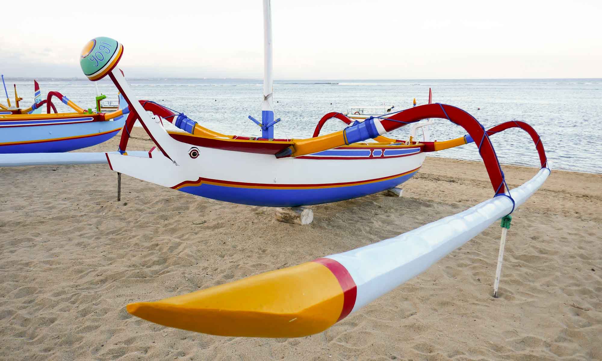
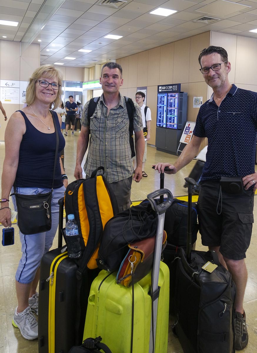
After over four months of travel, we were excited to be joined by B’s siblings, M & R for our jaunt to Mount Fuji. They had arrived a couple of days earlier in Tokyo and were eager to explore the region around Fuji.
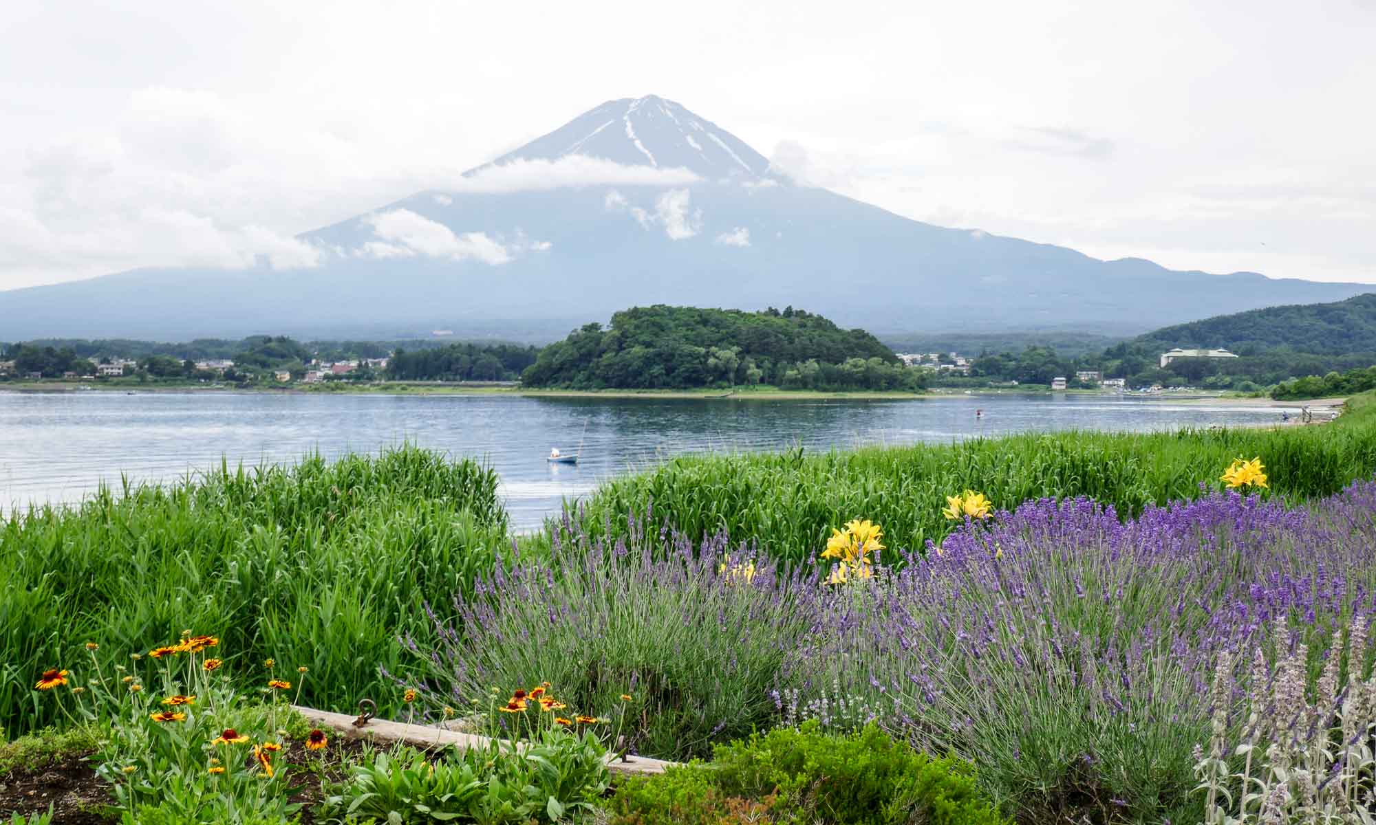
At 3,776 m high, Fuji is Japan’s highest mountain, and a most-wanted pilgrimage of several tourists. It is an active volcano, that last erupted in 1707. On a clear day, it can be seen from as far away as Tokyo.
Highlights of Fuji
Though climbing Mount Fuji is a dream of ours, we had decided that during this trip we would not be conquering it. We decided instead to head to Fuji Five Lakes, at the base of Mount Fuji, as it is thought to be one of the best areas to view Mount Fuji up close. The Fuji Five Lakes area is about 1,000 meters above sea level and includes Kawaguchiko, Saiko, Yamanakako, Motosuko and Shojiko.
Lake Kawaguchiko
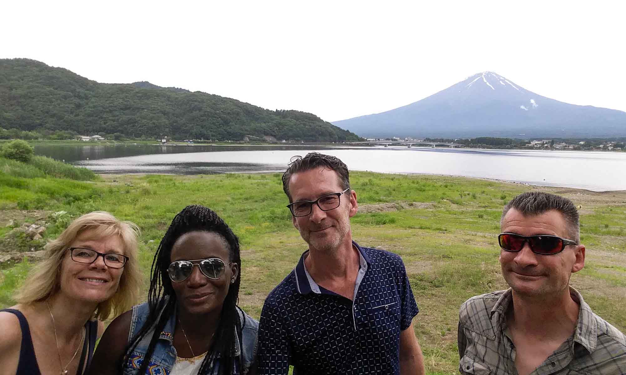
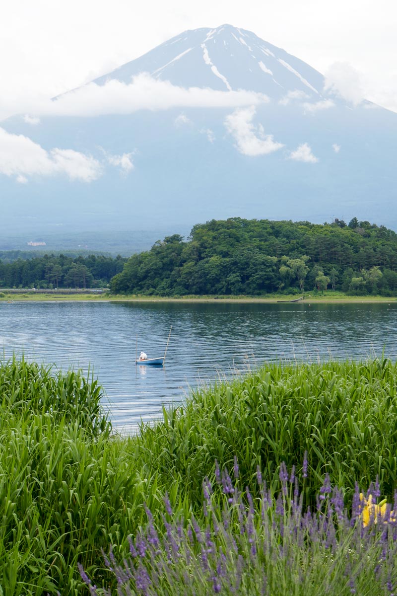
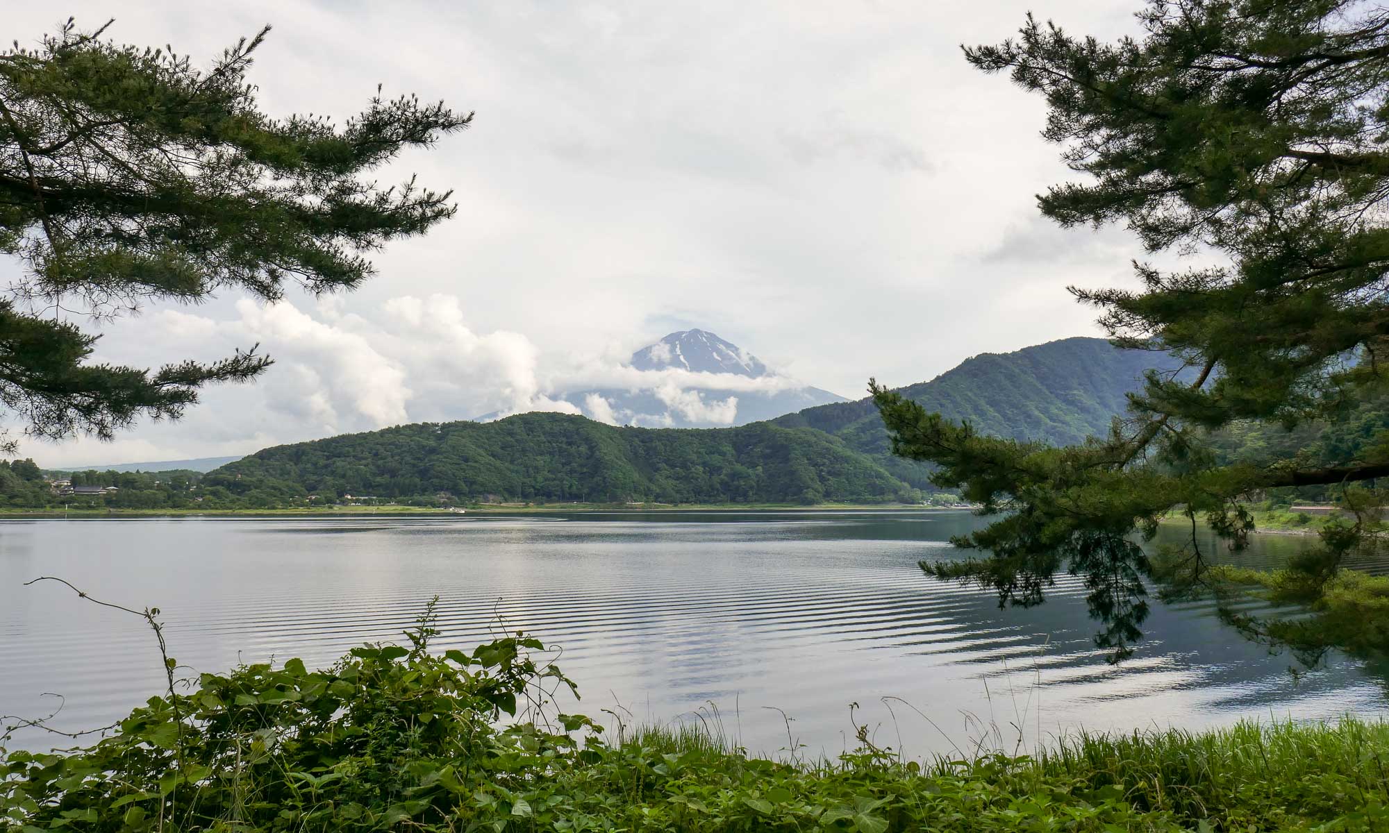
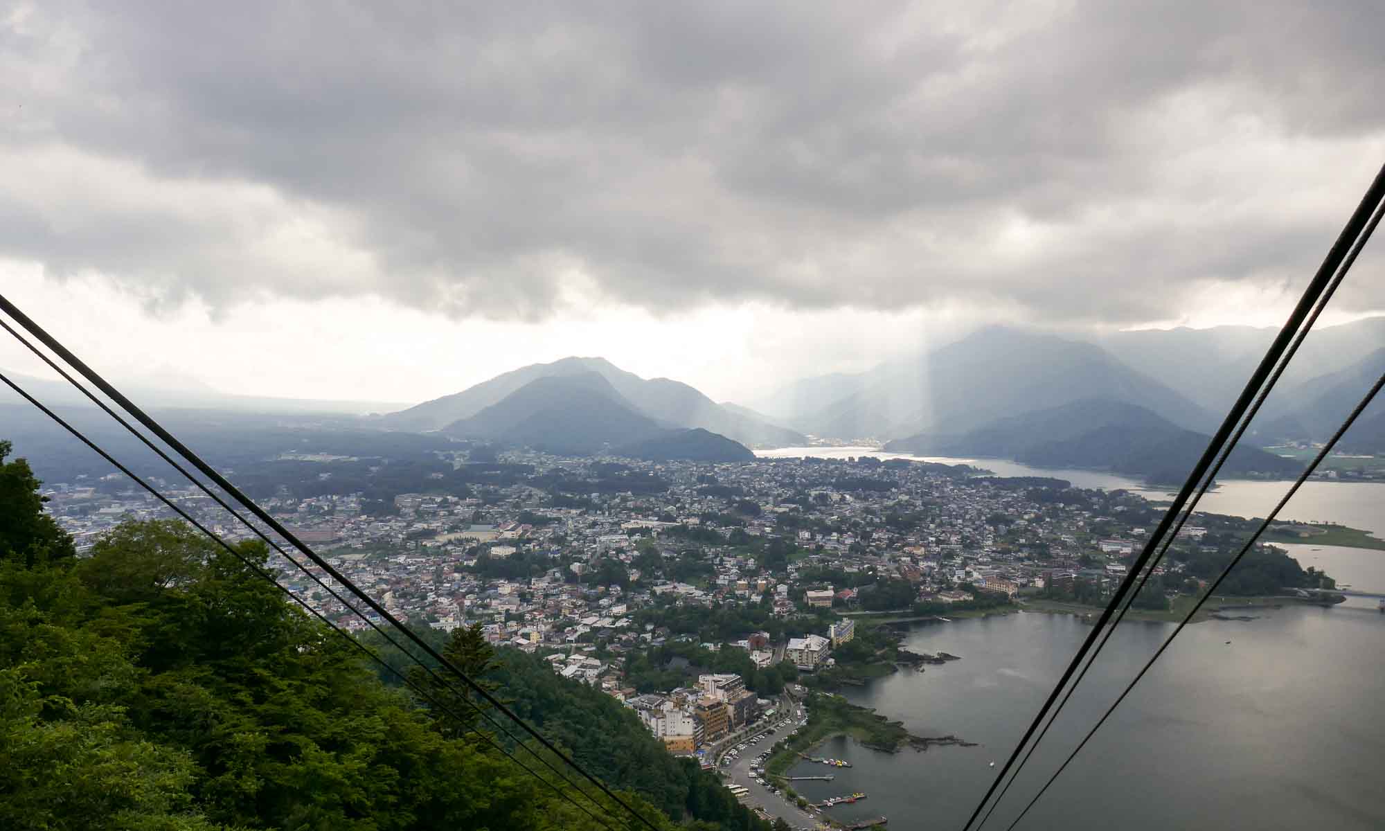
Of the five lakes, Kawaguchiko is more developed, and has more options in terms of accommodation and activities. While the lake is close to Fuji, clear views of the mountain are not always guaranteed and usually it can be seen only early in the day. On our way in, we were however amazed when we spotted a mountain in the distance that resembled Mount Fuji minus the snow peak. Views of the mountain were so clear that at first we doubted that it was Mount Fuji.
Kawaguchiko is a small town of about 25,000 people, that is often inundated with tourists. It is packed full with hotels, restaurants and cafes, as well as several museums and parks.
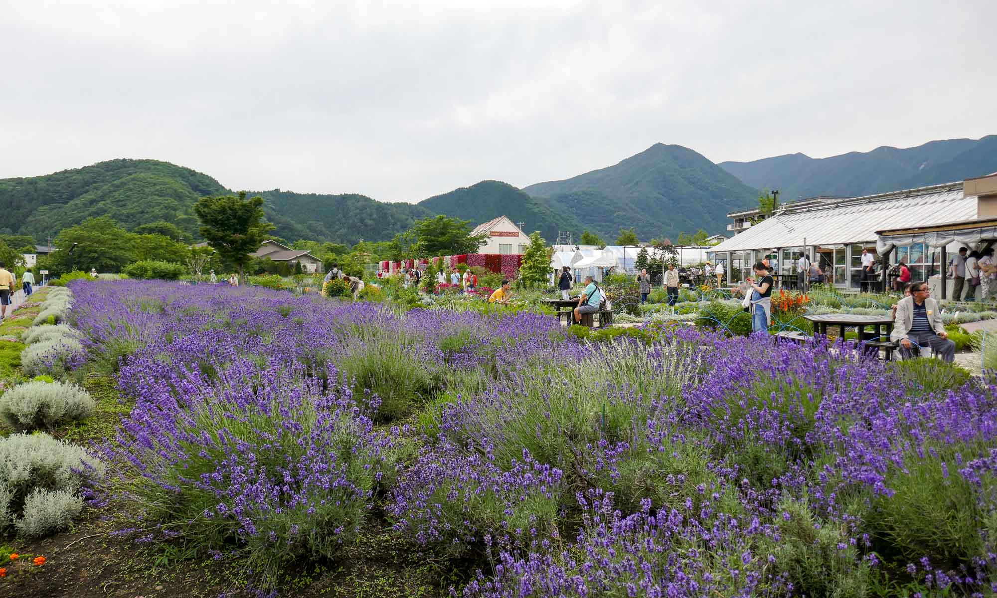
Since we had great weather, we opted to cycle around the lake which has a perimeter of about 20 km, and offers some awesome views of Mount Fuji from different vantage points. Oishi Park, is one such area, with views of the lake and Mount Fuji.
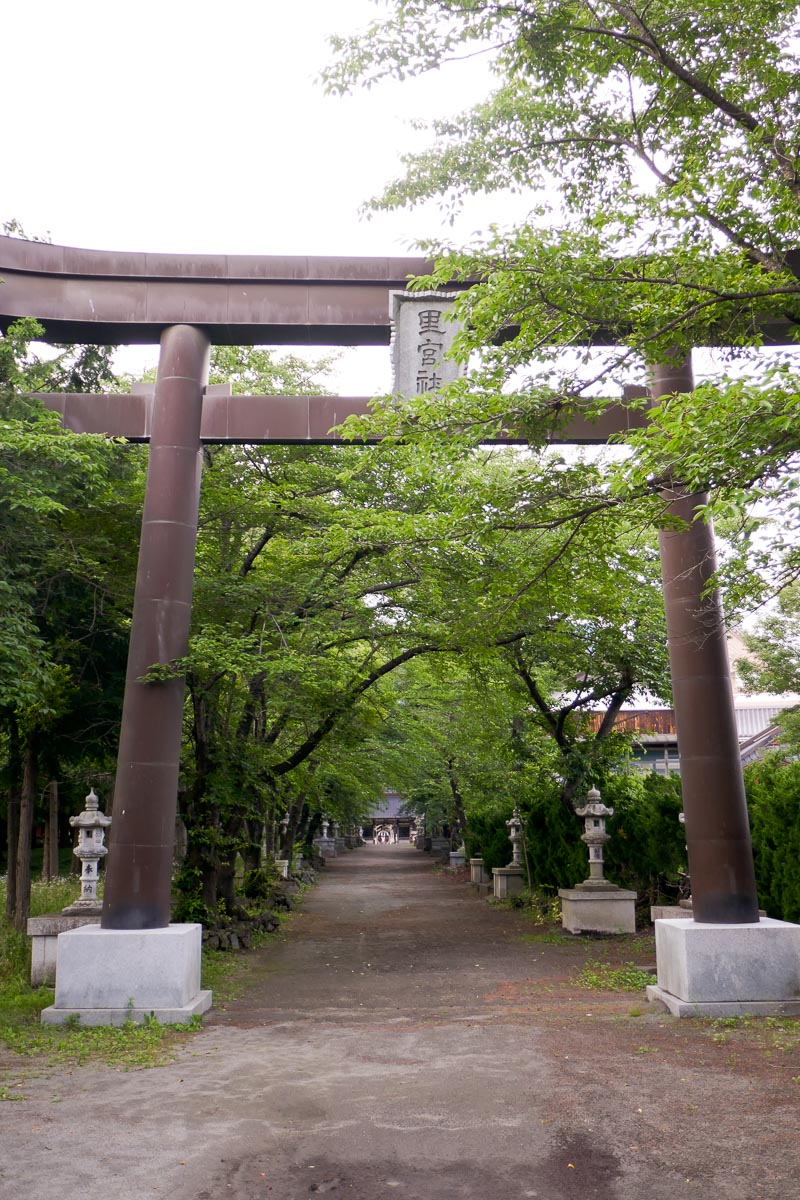
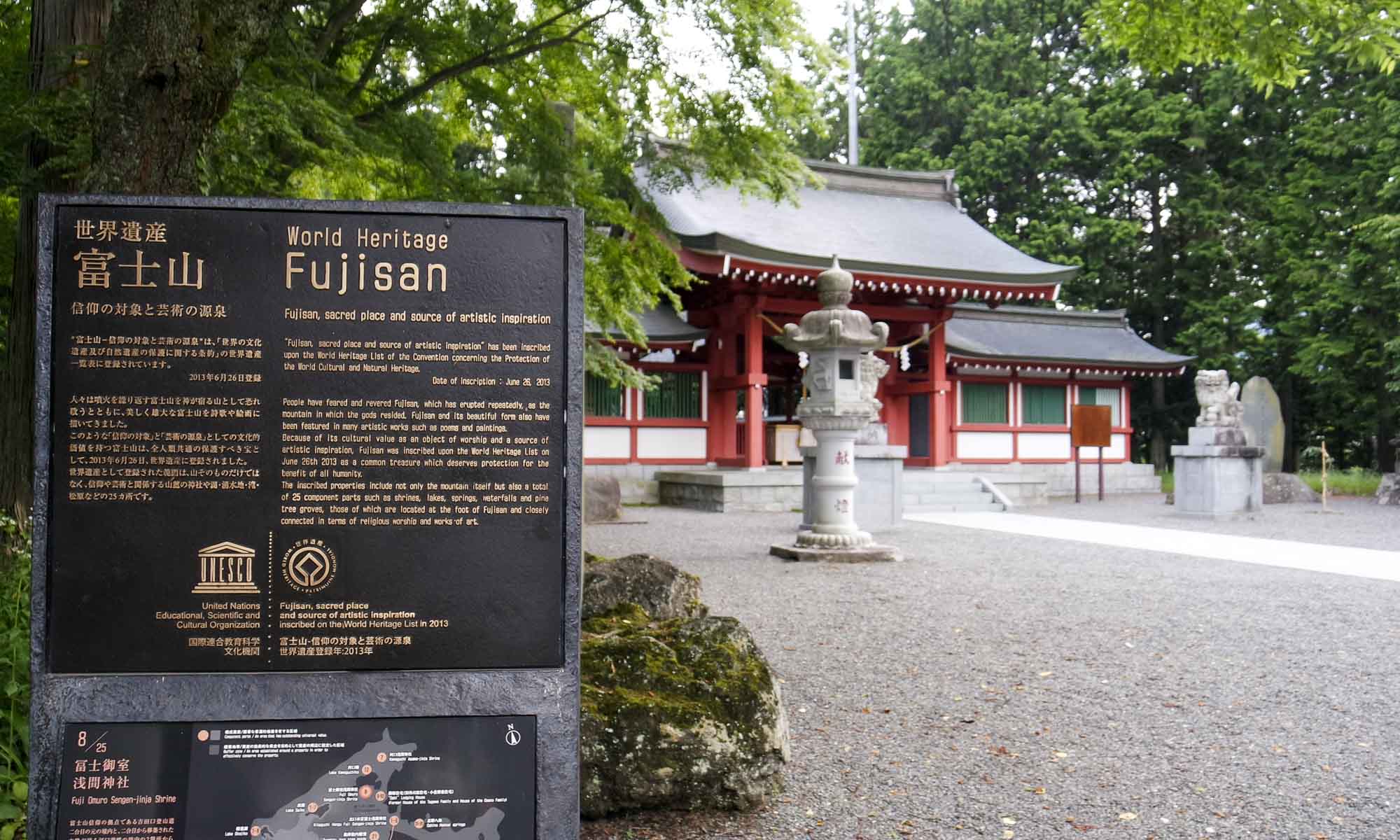
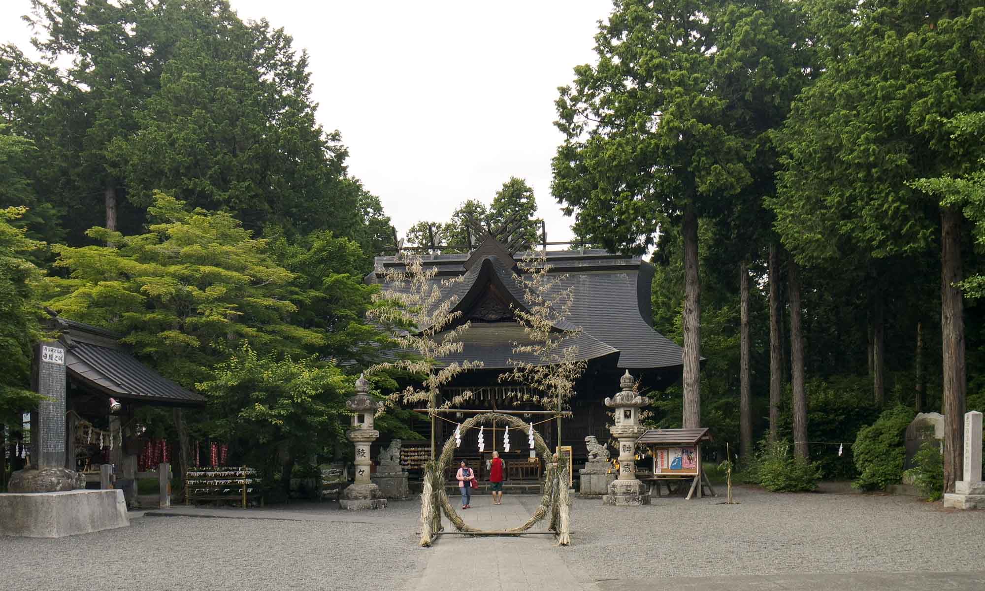
We also stopped at the Fuji Omuro Sengen-jinja shrine, which is one of the 25 cultural sites around Mount Fuji recognised by UNESCO as a World Heritage List site. It was initially located on the second station of Mount Fuji, but now sits close to the lake.
Aokigahara
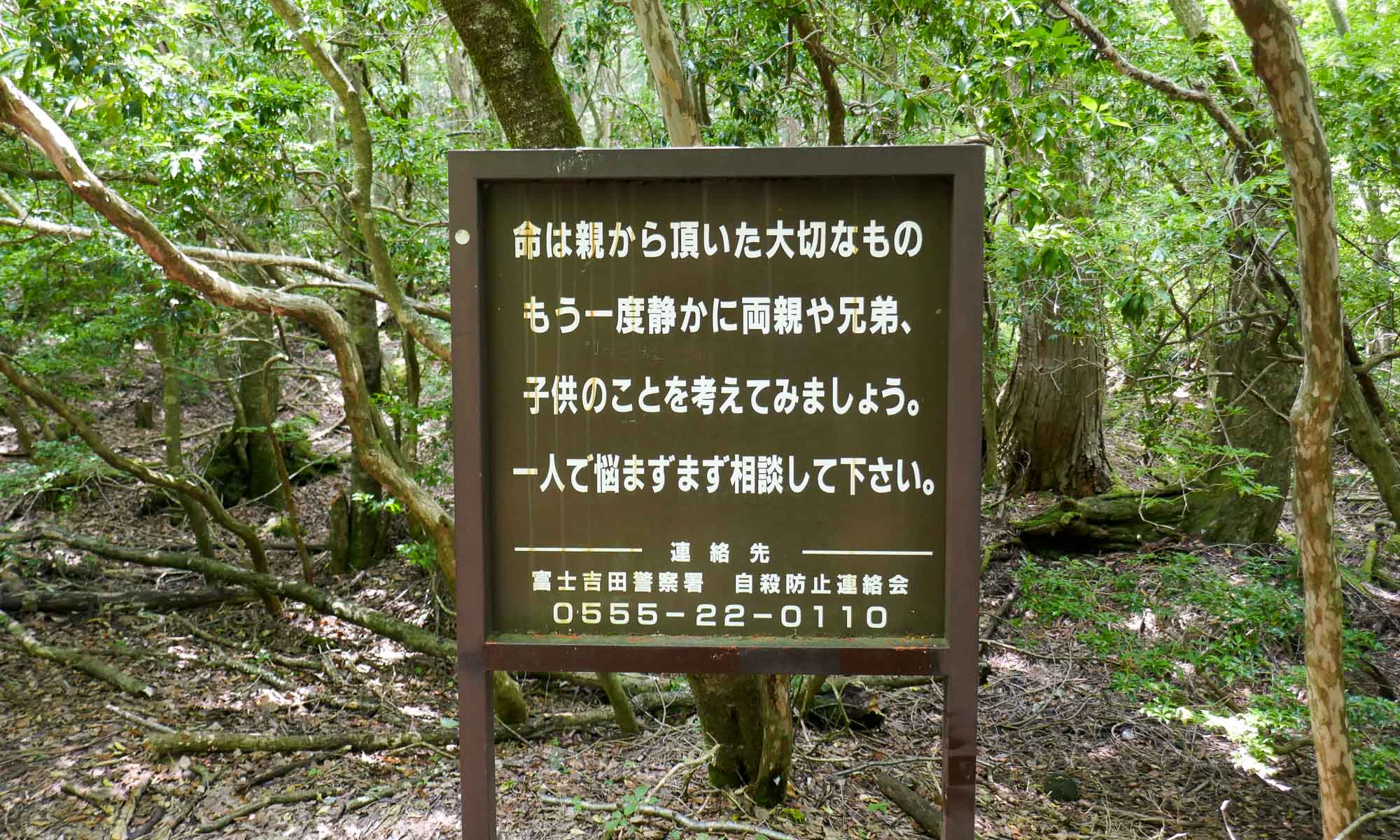
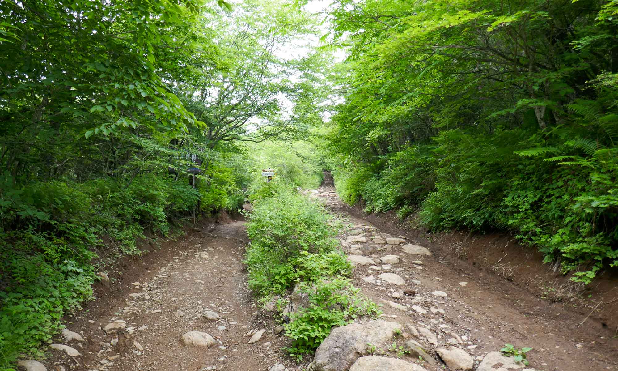
While on the flight over from Amsterdam, M had watched the movie, “The Sea of Tree’s”, which featured this forest, and so we decided to add it to our plans. The forest is located to the east of Mount Fuji and is the second most popular suicide location in the world. Back in the 19th century it was where families are thought to have abandoned the very young or very old. Due to the amount of suicides taking place, the government has now erected signs imploring people to reconsider their plans.
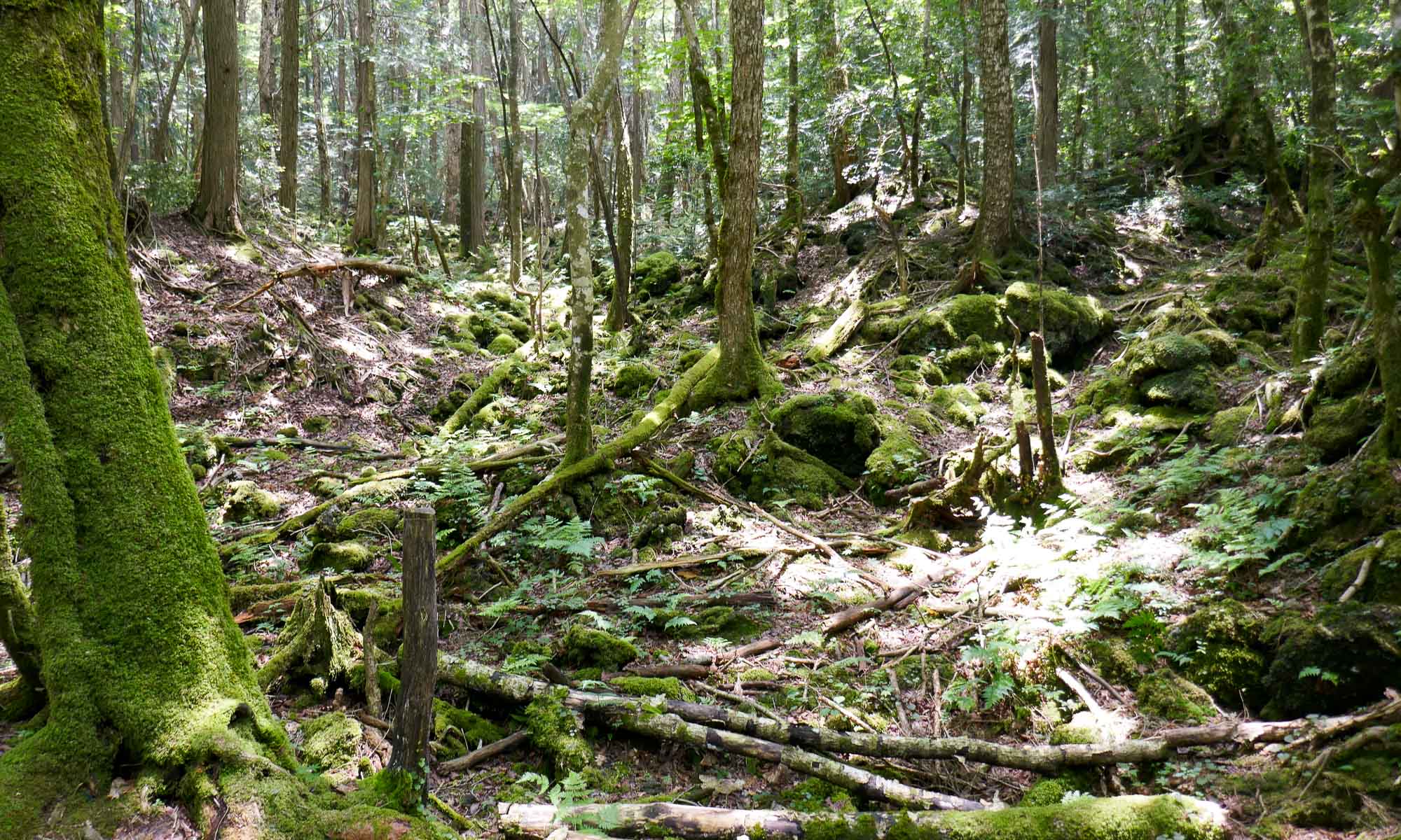
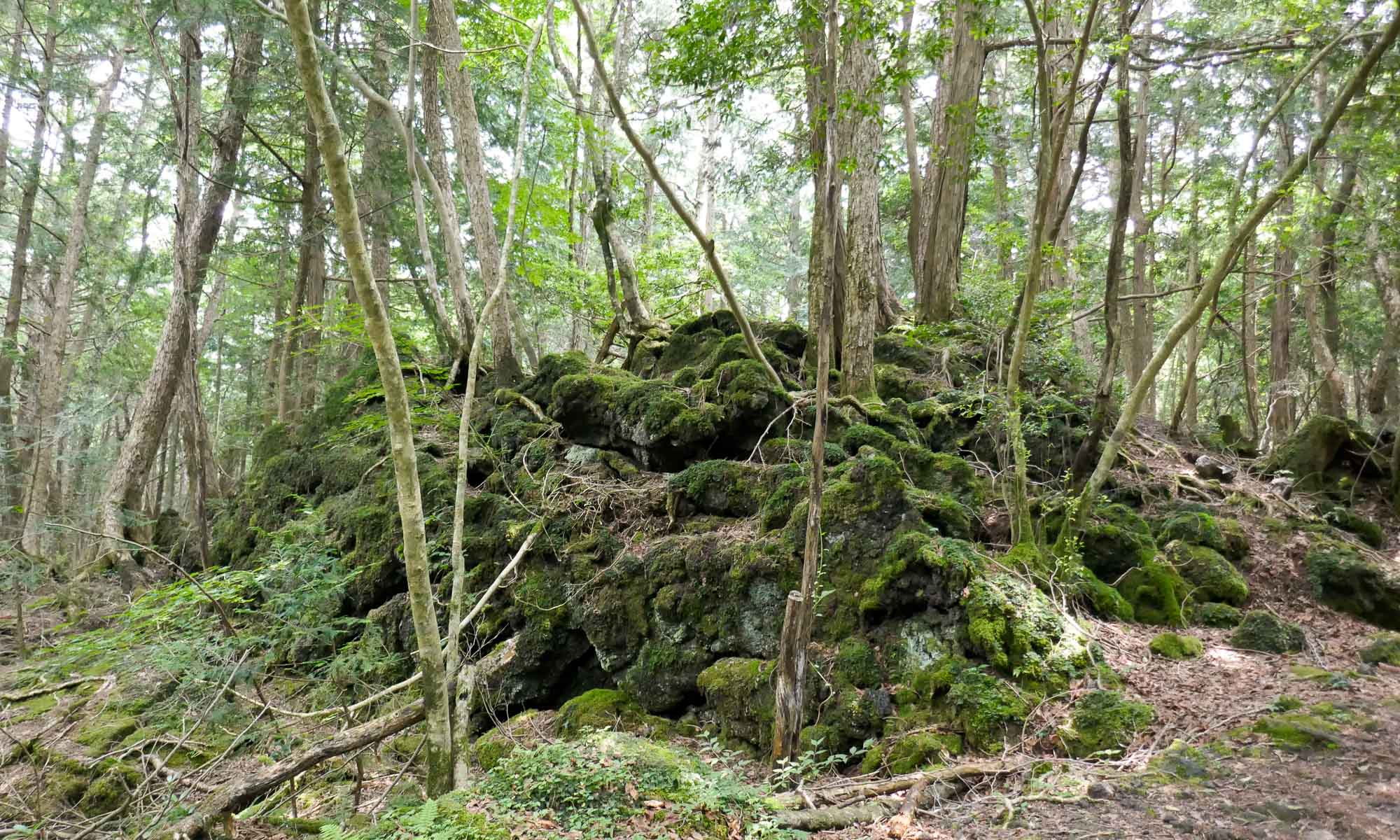
Just to get a sense of the density of the forest, we made a brief visit and took the path from the Fugaku Wind Cave to the Narusawa Ice Cave. The walk to the ice cave took about 15 to 20 minutes, and it was easy to see how easy it would be to get lost within the forest.
We paid a short visit to the ice cave, which is 150 m long, and was formed by lava from a Mount Fuji eruption. The temperature within the cave is around 3 degrees year-round, and it is always covered with ice.
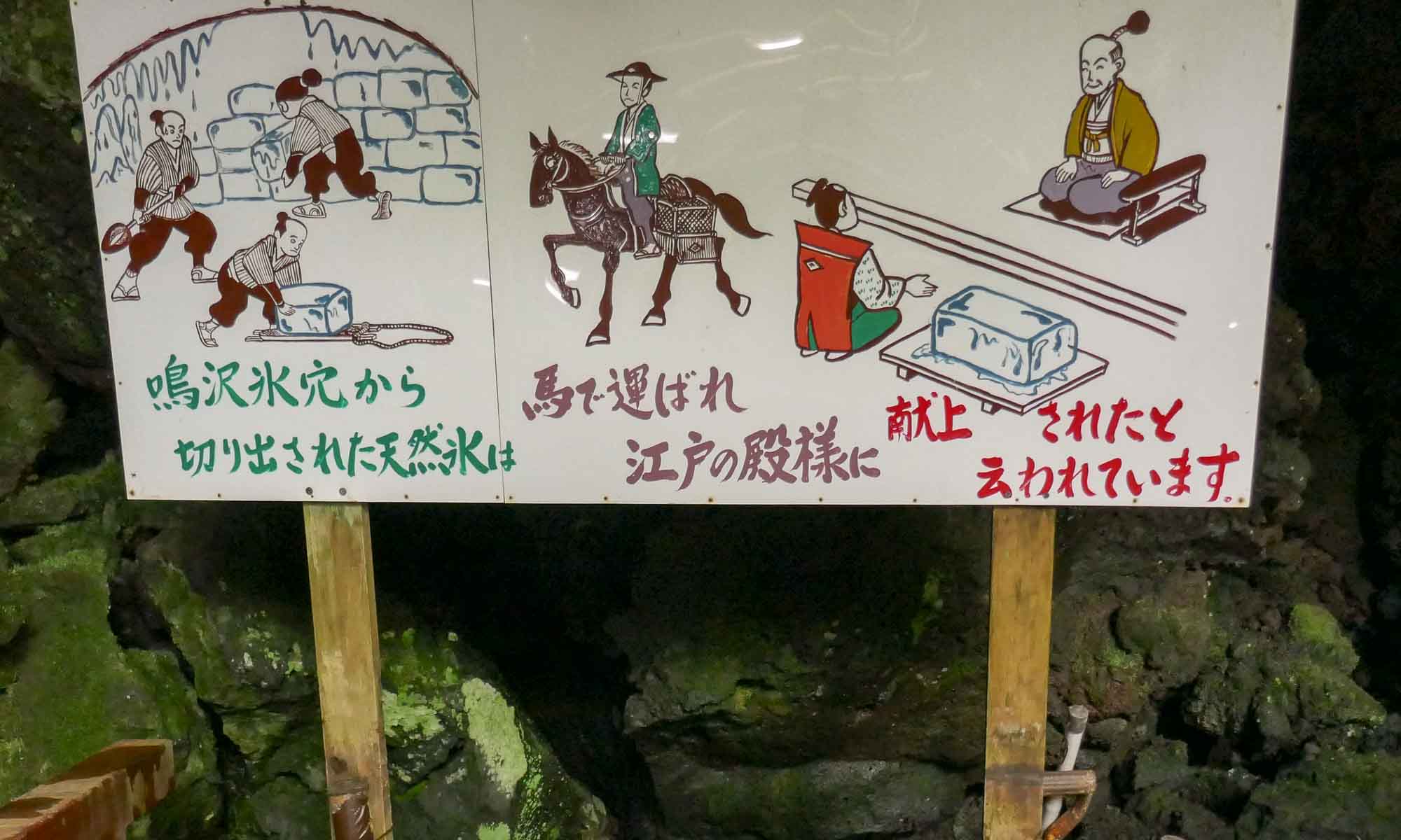
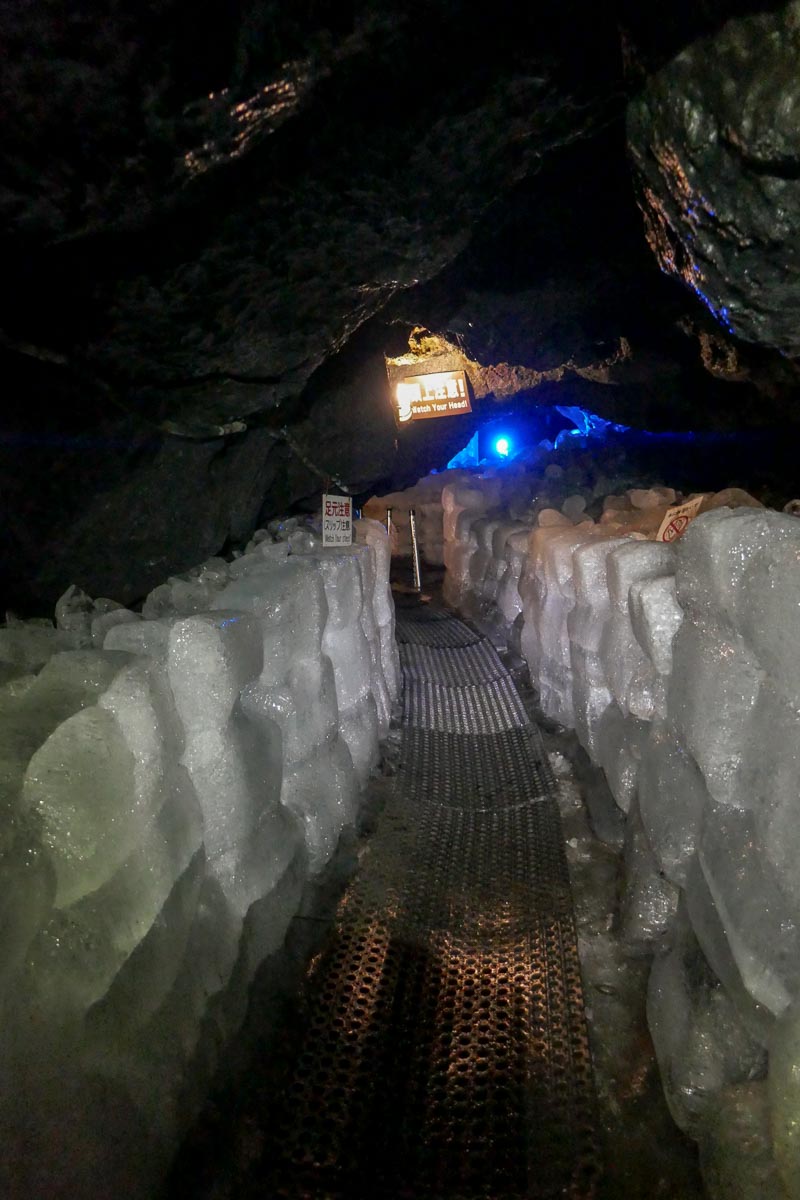
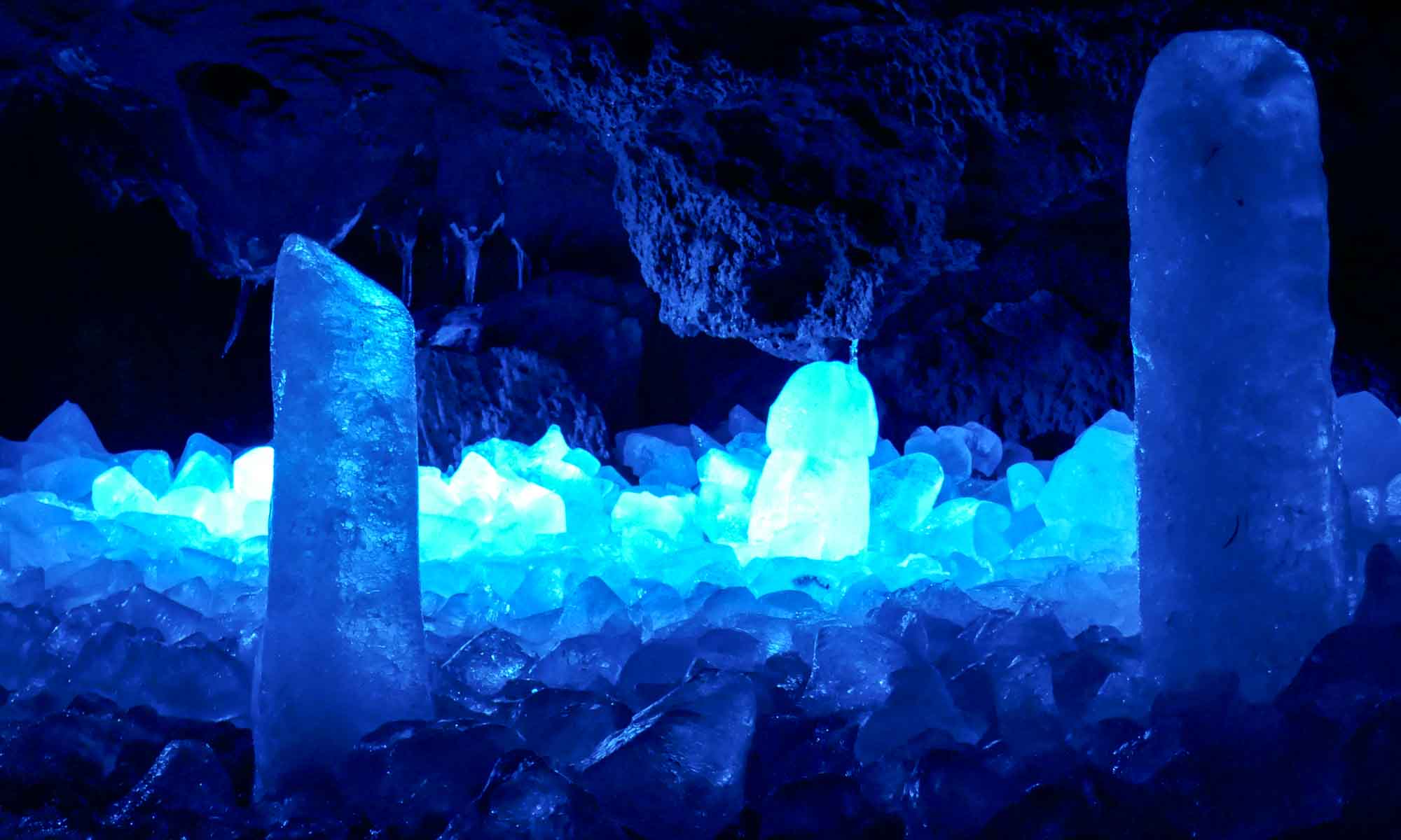
Narusawa Ice Cave Admission fee: Y230
Mount Mitsutoge
Though we were not climbing Mount Fuji, we decided to head northeast of Lake Kawaguchiko and hike up Mount Mitsutoge. M & R gladly agreed to join us on the hike. The hike is a popular one and the mountain is known as one where great panoramic views of Mount Fuji can be found.
Mount Mitsutoge is made up of three different peaks: Mount Kenashi (1,732m), Mount Osutaka (1,775m), and Mount Kaiunzan (1,785 m). From the trailhead we walked uphill for about 2 hours till we reached the mountain huts, and from there another 10 minutes to the top of Mount Kaiunzan. Unfortunately, when we arrived at the peak, Mount Fuji was nowhere to be found. It was hidden behind a sea of clouds.
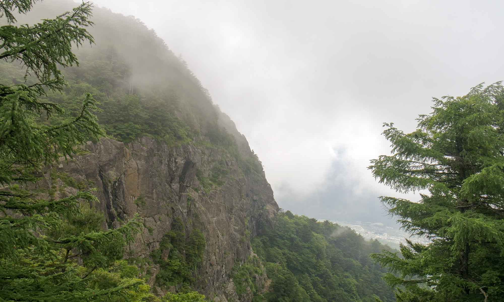
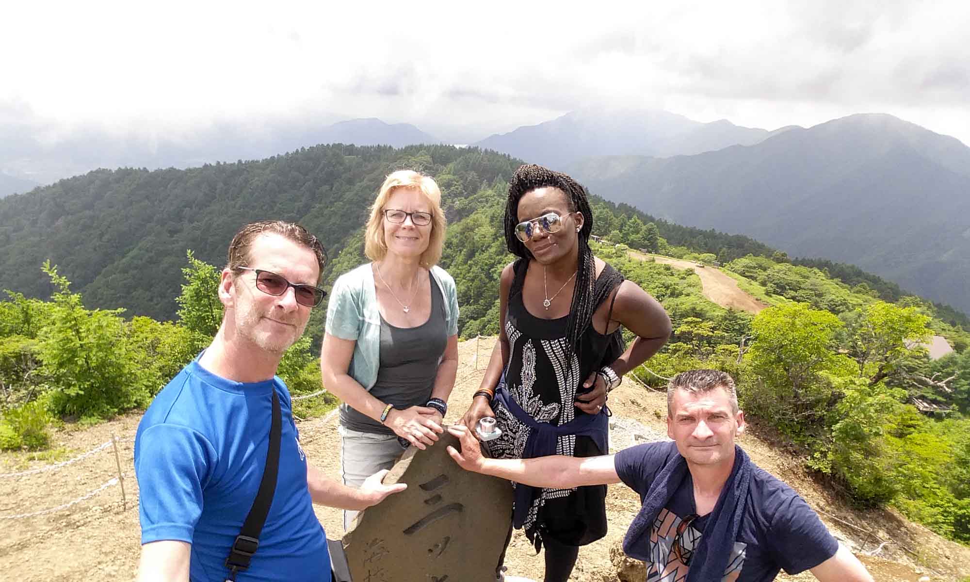
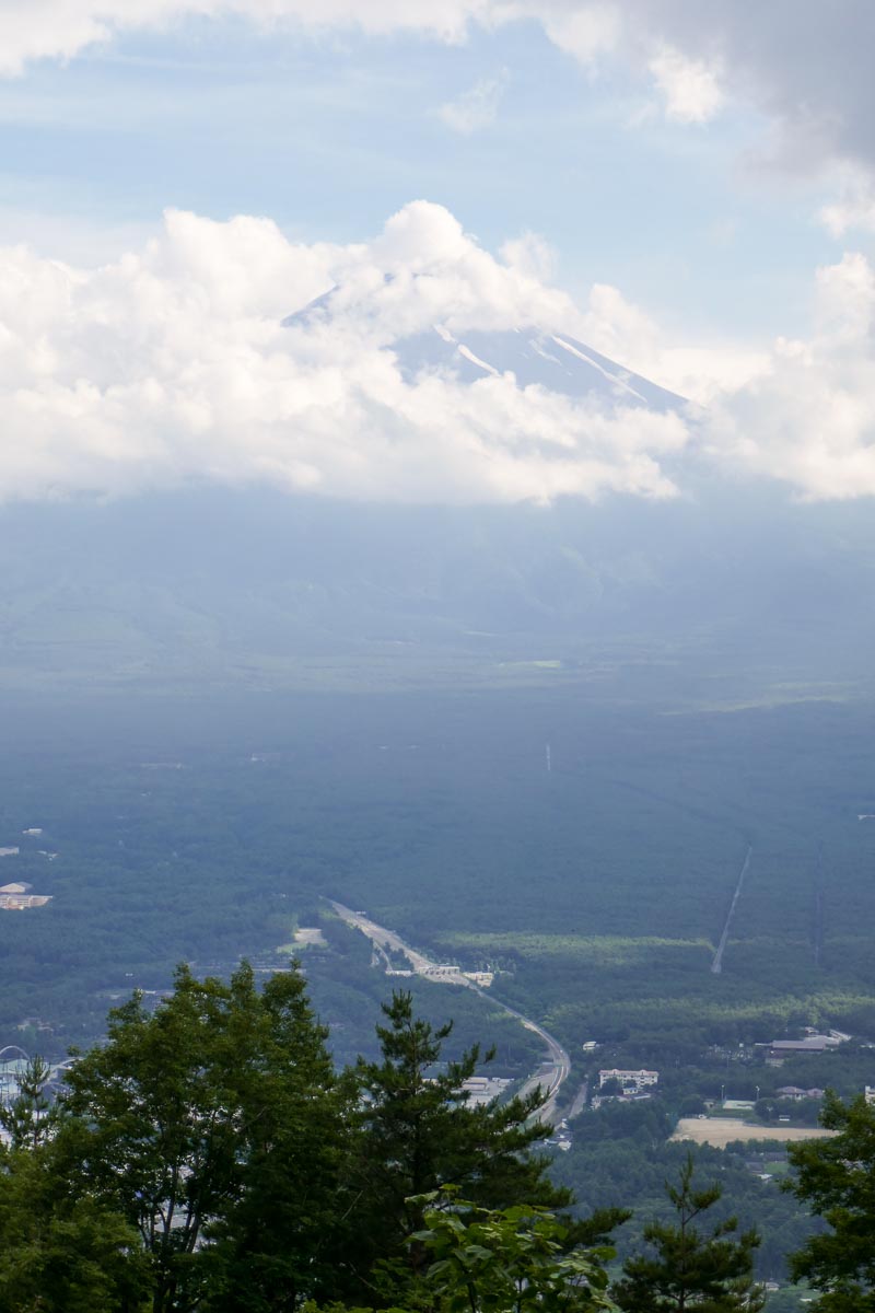
From the peak we hiked another 2 hours 30 minutes till we reached Mount Tenjo, and the top of the Kachi Kachi Ropeway where we finally got a glimpse of Mount Fuji.
Staying in Kawaguchiko
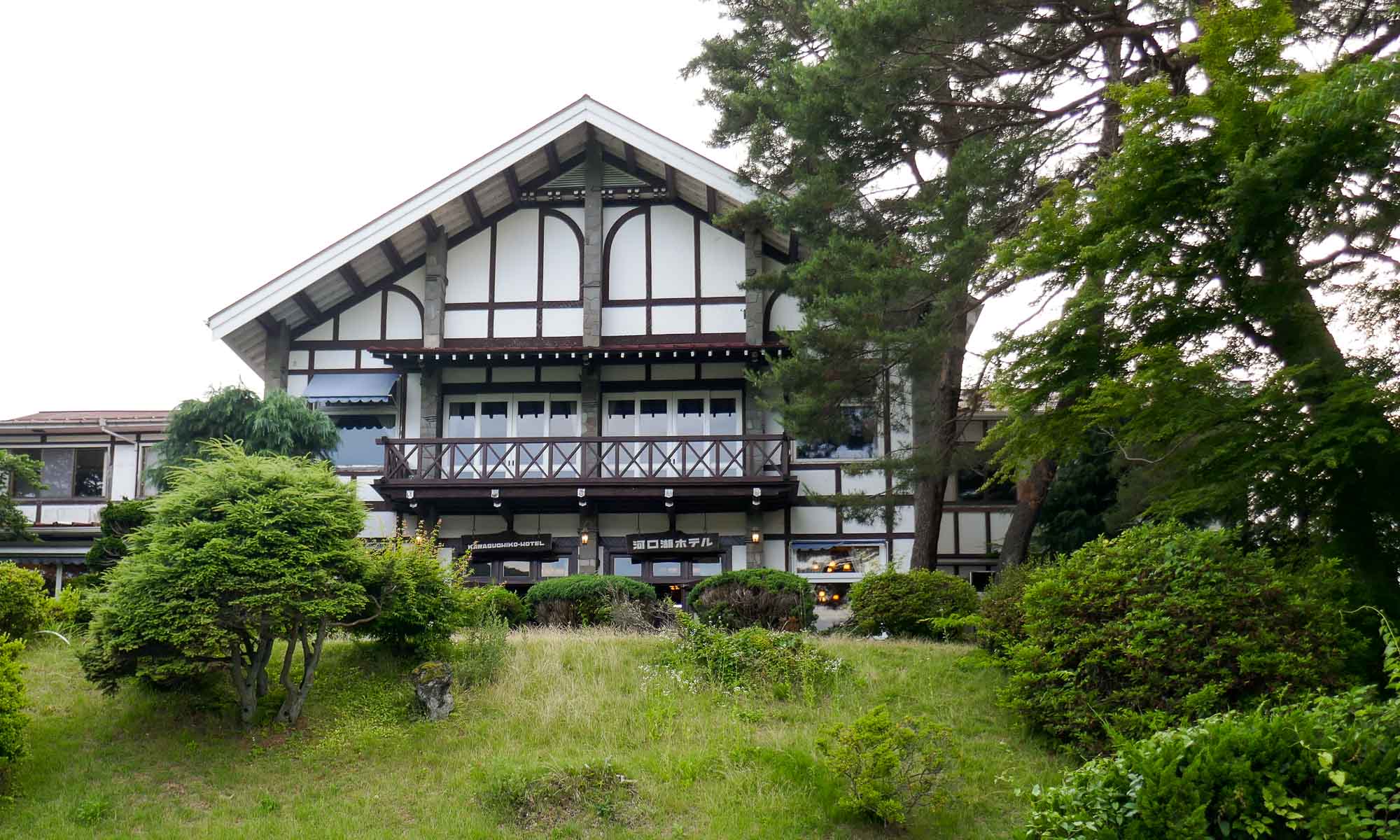
Hotel Kawaguchiko
Located directly in front of Lake Kawaguchiko, this slightly older hotel was the perfect base for our 2-night stay. Rooms were fairly large with views of Mount Fuji. Breakfast was provided at EUR 12 per person, therefore we decided to get breakfast elsewhere. The hotel is in a great location, within walking distance of the Kachi Kachi Ropeway, the Yamanashi Gem museum, and Kawaguchiko station. Bikes were also available for rent.
Dining in Kawaguchiko
Heidi’s Garden
This Italian restaurant is located in the midst of an average looking garden. Food was decent though slightly expensive.
Kim Kao Kon
We decided to try out this Thai restaurant and were not disappointed. The food was affordable and of good quality.
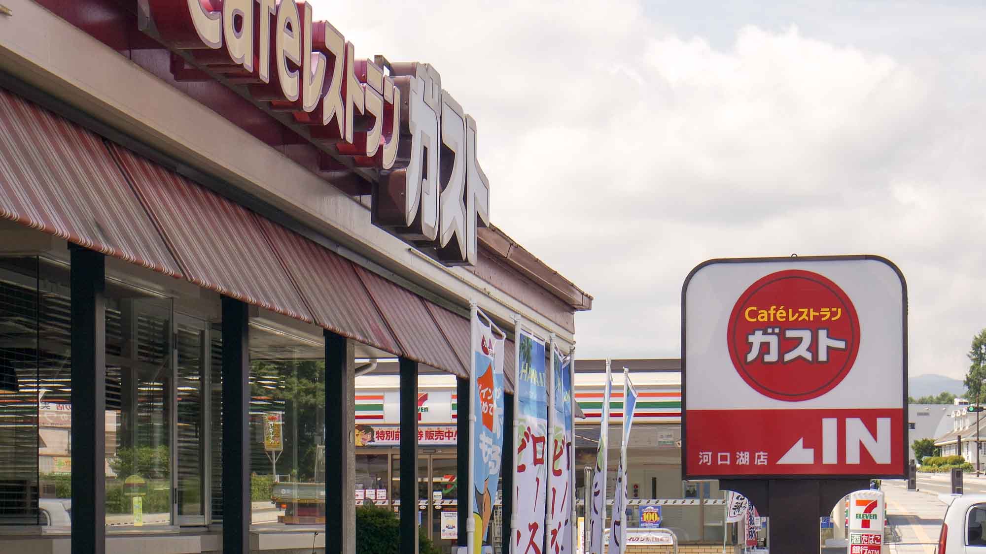
Gusto
This was the restaurant of choice for breakfast for R during our stay. While the choices were somewhat limited, the restaurant provided unlimited beverages.
麺屋いけ麺
This ramen restaurant was average in all aspects: food, service and staff.
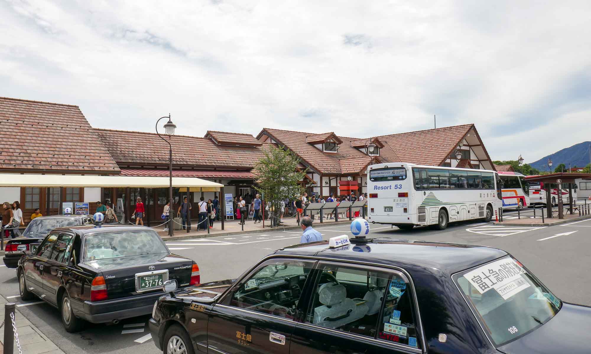
Getting to Kawaguchiko
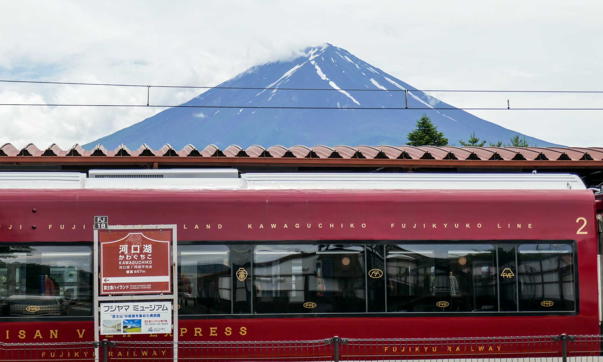
From Tokyo, Kawaguchiko can be reached by either bus or train. The Expressway bus leaves from the upper level of Shinjuku station and takes just under 2 hours to the Kawaguchiko bus terminal. By train, the journey includes a limited express train from Shinjuku, and a transfer to the Fujikyuko express line at Osuki station. In total, the journey takes about 2 hours 15 minutes.
Expressway bus fare: Y3,500 (return); Train fare: Y4,500 (one way)
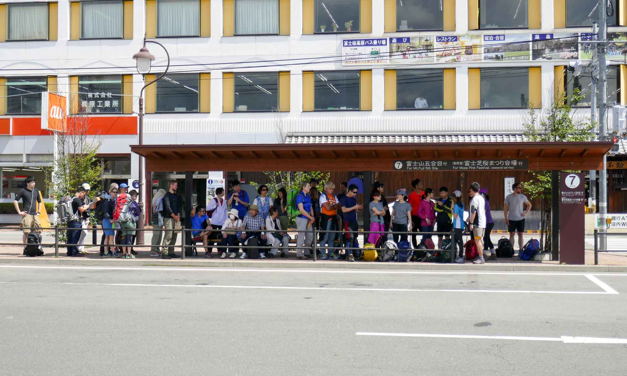
Getting around Kawaguchiko
For tourists, two sightseeing bus lines operate from the station covering the area around Lake Kawaguchiko and the nearby Lake Saiko. In addition, there is a cheaper public bus line.
If time is not a factor, biking is another great way to get around the area.